By: Our Staff Reporter
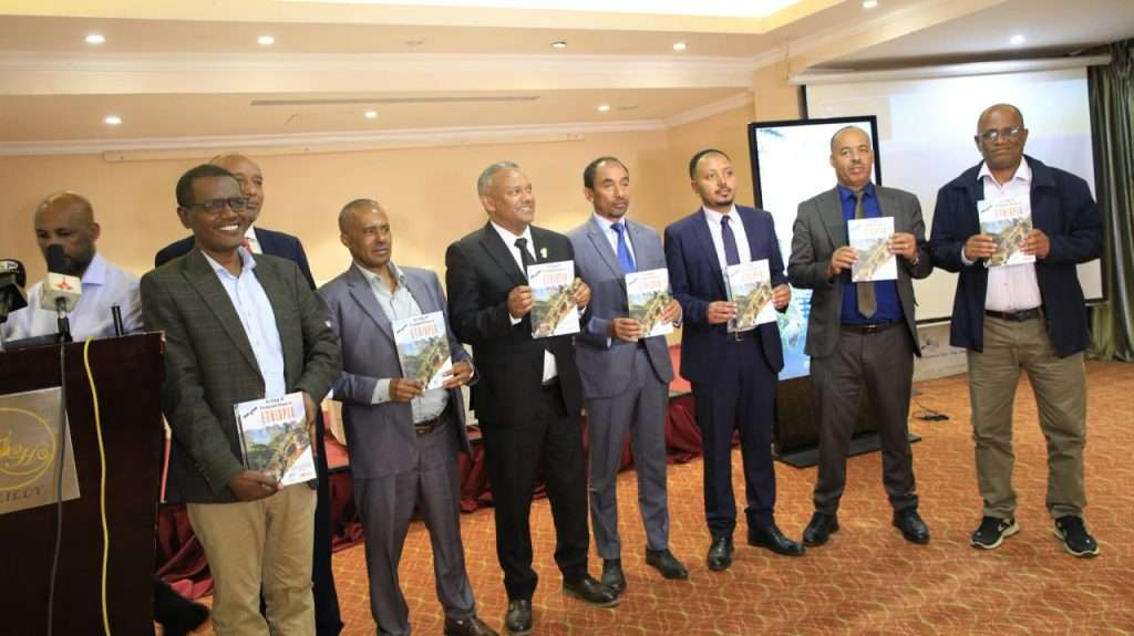
Addis Ababa (Ethiopia Today), July 2, 2026: Ethiopia has officially launched a new web application named “Atlas,” designed to monitor, protect, and manage the country’s protected natural resources and national parks using modern satellite and geospatial technology. Developed through a collaborative effort between the Ethiopian Space Science and Geospatial Institute (ESSGI) and the Ethiopian Wildlife Conservation Authority (EWCA), the platform is scheduled to become fully operational in the coming weeks.
The deployment of this digital platform addresses several critical priorities for the country’s environmental, economic, and institutional sectors:
The digital transition provides policymakers, research institutions, and international development partners with accurate, unbiased, and real-time data. According to Dr. Abdisa Yilma, Director General of the Ethiopian Space Science and Geospatial Institute, moving away from estimation-based planning toward evidence-based data will significantly resolve long-standing policy gaps and improve strategic planning in natural resource management.
The technology addresses critical resource constraints within state conservation agencies by augmenting the existing workforce with advanced digital monitoring capabilities.
Kumera Wakjira, Director General of the Ethiopian Wildlife Conservation Authority, emphasized that integrating geospatial tools allows the authority to optimize field deployments and maximize the efficiency of its park rangers across vast, remote terrains that were previously difficult to patrol effectively.
A core component of the platform is the democratization of environmental surveillance through a dedicated citizen reporting system. Once fully operational, local communities, particularly youth, will be able to report critical environmental threats such as deforestation, wildfires, habitat destruction, and illegal poaching directly to central command operations. This decentralized monitoring approach aims to foster a sense of local ownership and strengthen grassroots participation in conservation.
The modernization of park infrastructure through digital mapping is expected to elevate Ethiopia’s standing in the highly competitive international tourism market. State Minister of Tourism, Sileshi Girma, noted that providing international visitors with precise digital maps and reliable ecosystem data enhances the destination profile of the country’s parks, serving as a strategic lever to boost foreign currency earnings from the sustainable tourism sector.
In its primary phase, the “Atlas” application has been customized to service two vital biodiversity hotspots: the Bale Mountains National Park and the Senkele Swayne’s Hartebeest Sanctuary.
The system is designed to scale progressively to cover the remaining 106 protected areas across the country.